
European Regional Development Fund


Project Closing Ceremony - TOKAJGIS
p1170861_r.jpg
Content
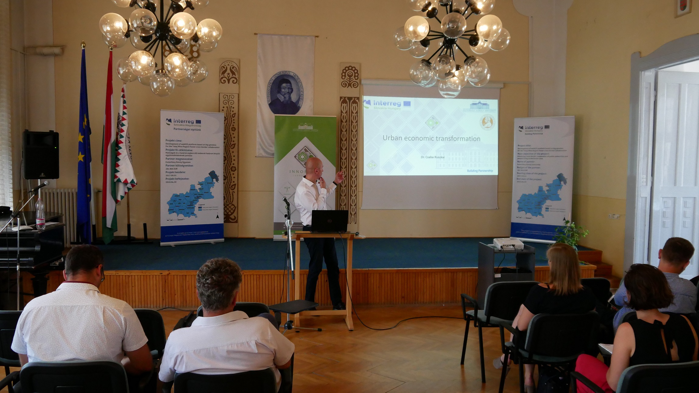
The main purpose of the project closing conference was to present the completed activities and the results of the project named TokajGIS. The presentations have discussed the problems about data collection and harmonization, the functions of the developed webGIS system, the possibility of the improvement of the system and the possible ways to continue the cooperation.
As a result of the project, a unified GIS database with a common structure and a common nomenclature for the Tokaj wine region has been created, displaying the social, economic and landscape geographic characteristics of the wine region. The database will be published on the gis.uni-eszterhazy.hu website by the help of our project-supported, self-developed web-based GIS framework system.
More about the project:
gis.uni-eszterhazy.hu
http://www.skhu.eu/funded-projects/development-of-webgis-platform-based-on-big-geodata-for-the-tokaj-wine-region-foster-cross-border-collaboration