
European Regional Development Fund


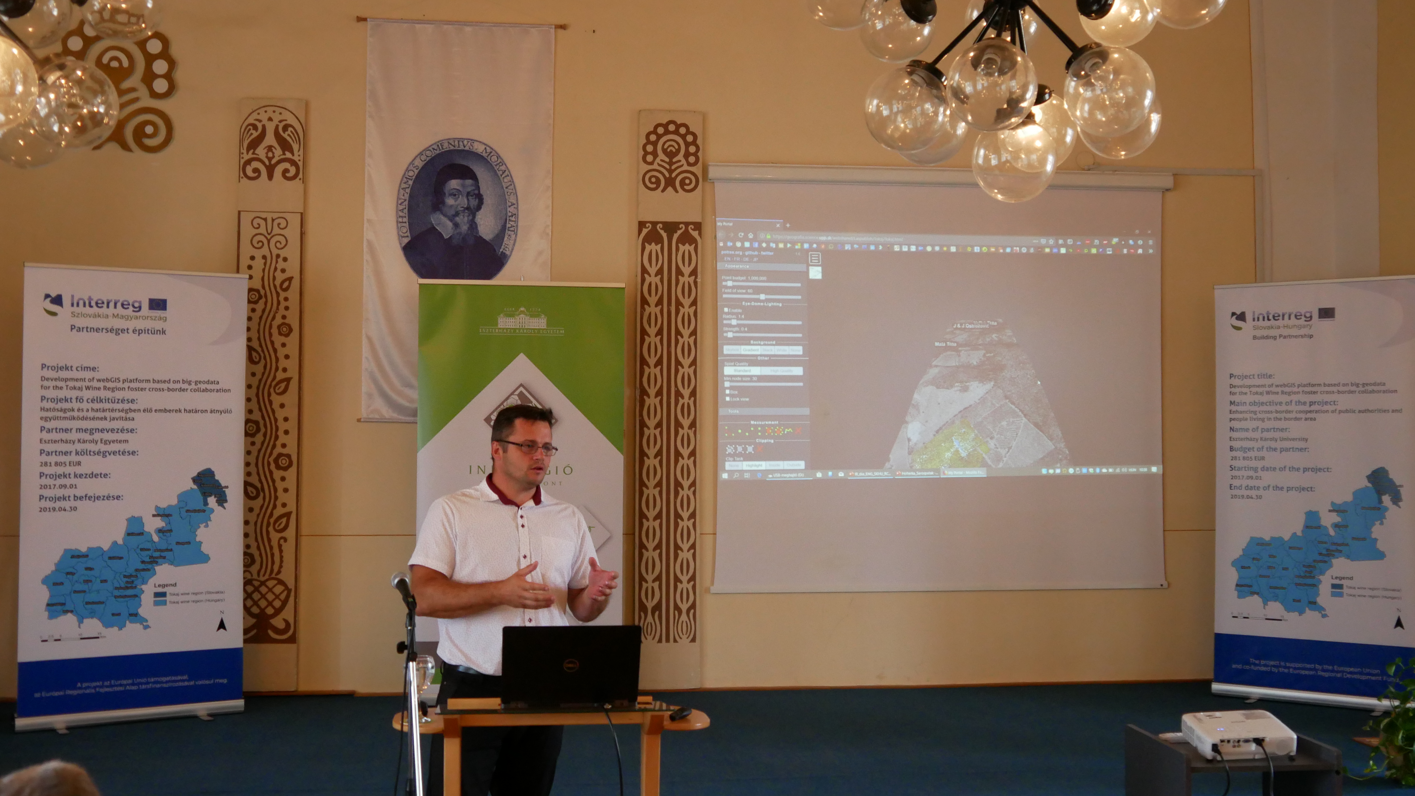
Development of webGIS platform based on big-geodata for the Tokaj Wine Region foster cross-border collaboration
- AcronymTOKAJGIS
- Call IDSKHU/1601
- Priority AxisEnhancing cooperation of public authorities
- Specific objective4.1 Improving the level of cross border inter-institutional cooperation and broadening cross border cooperation between citizens.
- Registration No.SKHU/1601/4.1/052
- Total Project budget427,447.40 €
- Total ERDF awarded363,330.29 €
- Project start date30 September 2017
- Project end date31 July 2019
- Websitegis.uni-eszterhazy.hu
- Project statusClosed
Supporting common development of the border region based on Geographical Information System
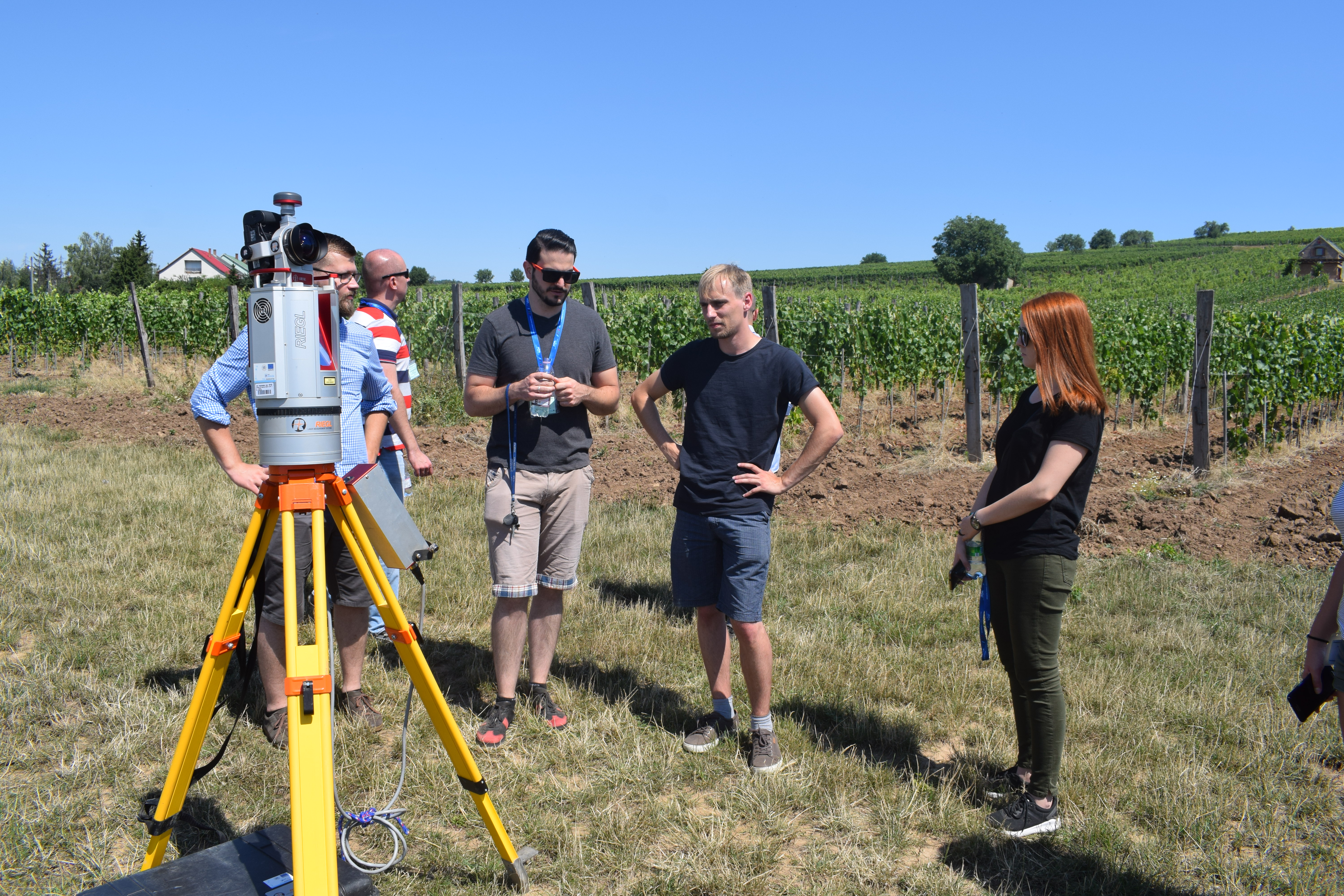
The Tokaj wine region could be considered as a unique and homogenous area from the aspect of landscape and cultural geography, which determines essentially its mining assets, as well as its viniculture and viticulture, in addition the wide variety of its tourist attractions.
The fundamental idea behind the creation of a joint GIS framework performed by Pavel Josef Safárik University Košice, Slovakia and Eszterházy Károly University Eger Hungary was to support the harmonized presentation and organic development of the wine region based on the integration of basic territorial data of the two European member states and the joint handling of GIS database. Databases with different structures and nomenclature make the processing of the GIS data of the wine region, the integration of scientific data, the preparation of mutually advantageous regional development concepts and the transparency of developmental efforts difficult.
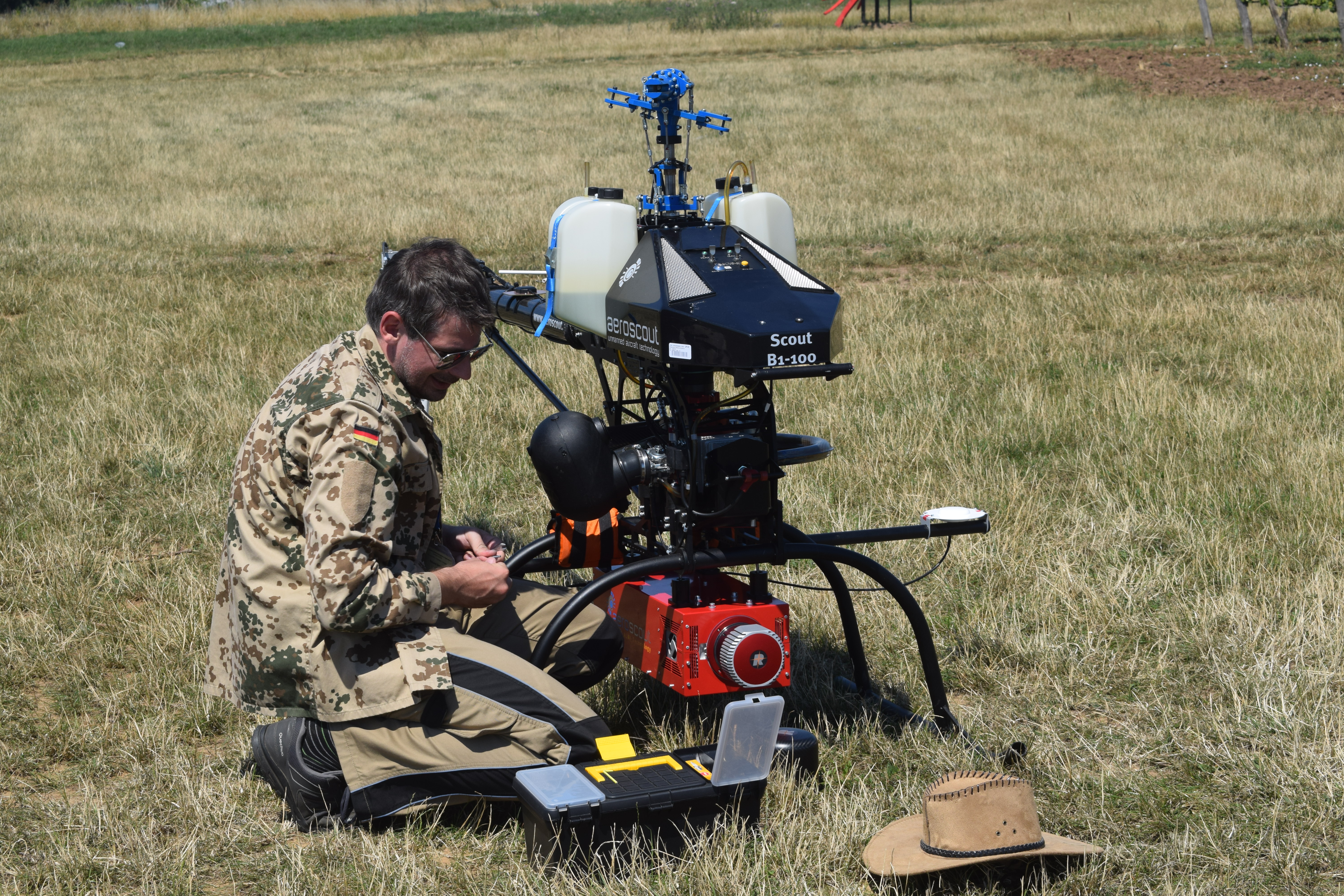
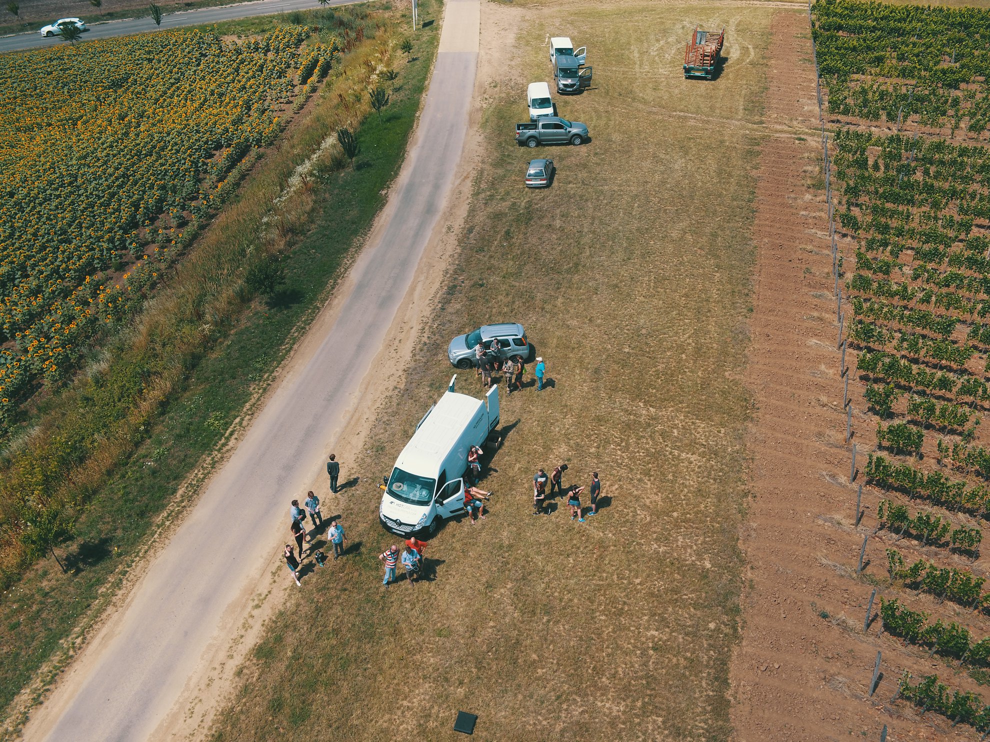
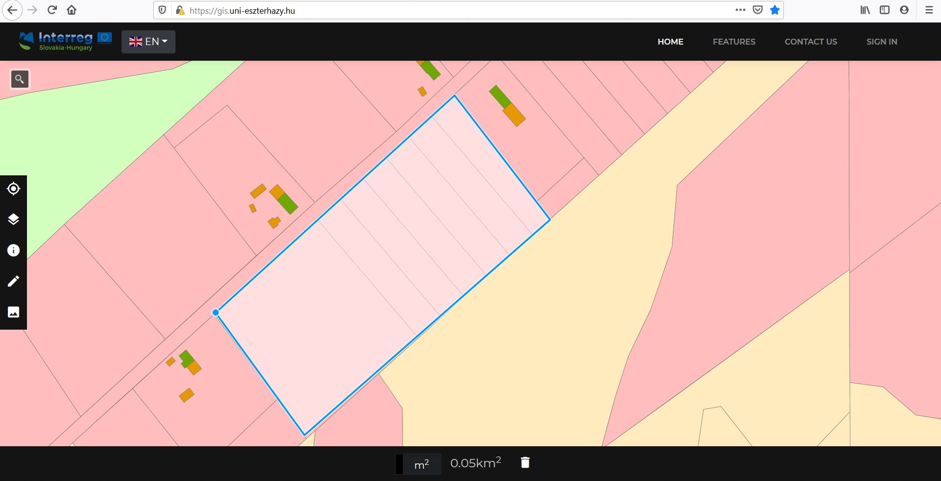
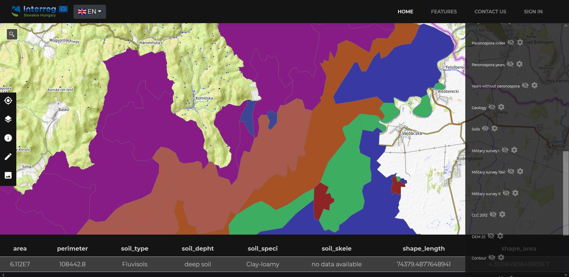
The aim of the project is to share the professional experience of the two institutions and to facilitate joint learning processes by the help of specific modular GIS frameworks of the wine region. The proposed system is able to integrate and represent unified GIS data of both sides and supports the realization of functional regional planning and development, marketing, sustainable landscape planning and management, in addition it provides opportunities to deepen the remote sensing skills and knowledge of two institutions. The thematic content of the trilingual GIS framework published on the website can be used as a validated source of information for wine producers, local governments and stakeholders, local administration, residents as well as for the participants of tourism both on demand and supply side. Furthermore, it provides an easily accessible dissemination platform for publication of research results.
One of the most important result of the project is that it provided a new approach for strengthening the cohesion of the border region. The freely available data supporting planning and development could be considered as basis of the common development of the region. We are proud of the fact that not just a GIS system and joint common database were created during the project, but a long-term relationship has been established between the two institutes, which led to further common initiatives.
https://gis.uni-eszterhazy.hu/
https://tokajgis.science.upjs.sk/uvod_sk.html
Images

develping-webgis-system.jpg
dsc_0497.jpg
dsc_0499.jpg
field-trip-in-summer-school-2.jpg

field-trip-in-summer-school.jpg
project-closing-conference.jpg
tokajgis-screenshot.jpg
tokajgis-screenshot2.jpg
Partnership
Lead Beneficiary / ERDF awarded
Beneficiary 1 / ERDF awarded
Project Closing Ceremony - TOKAJGIS
p1170861_r.jpg
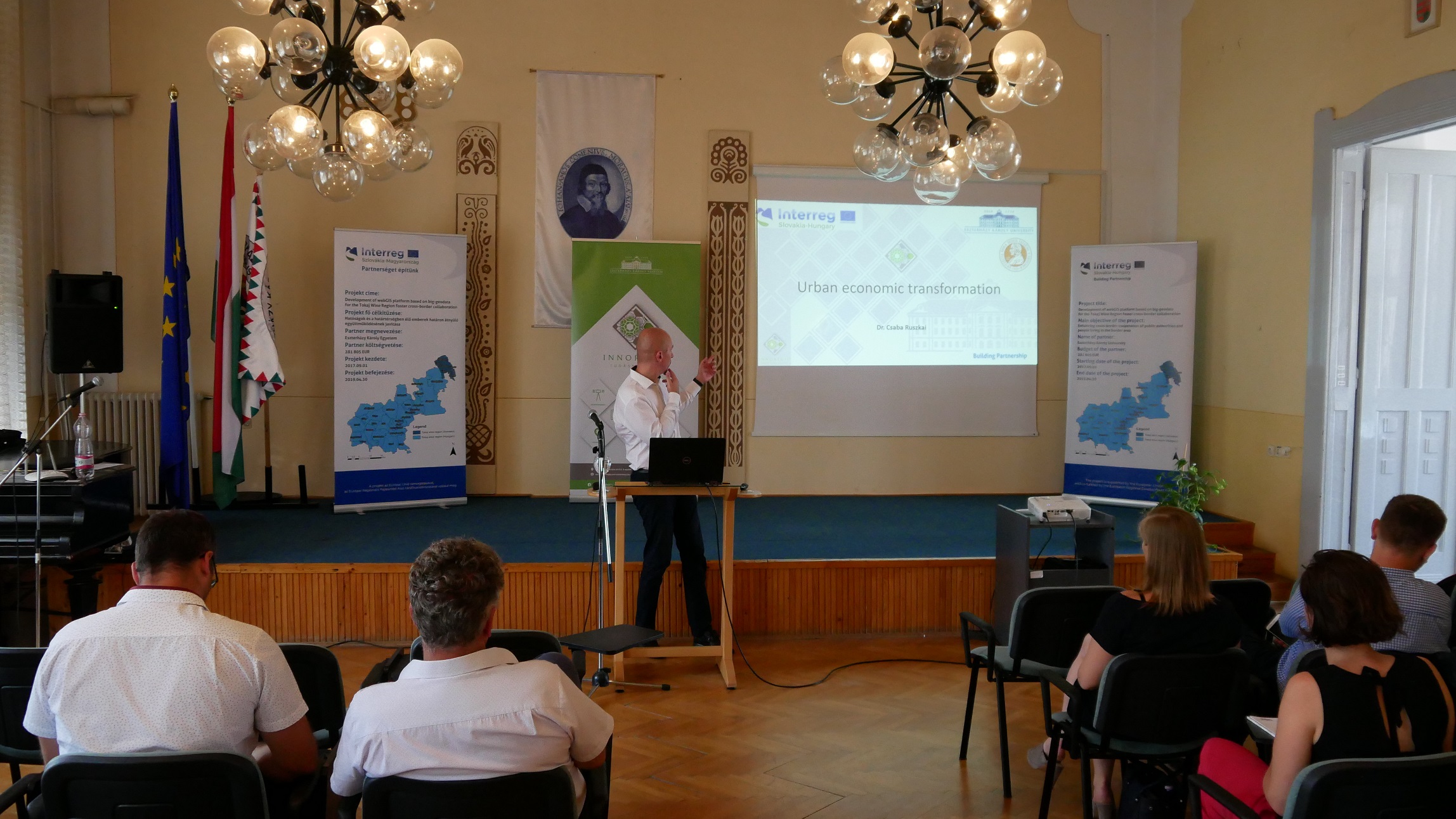
The main purpose of the project closing conference was to present the completed activities and the results of the project named TokajGIS.
- SKHU/1601/4.1/052 (7)